
It’s a Double Update this week as last week was just too crammed full of things to do for a proper JAMCam to be written.
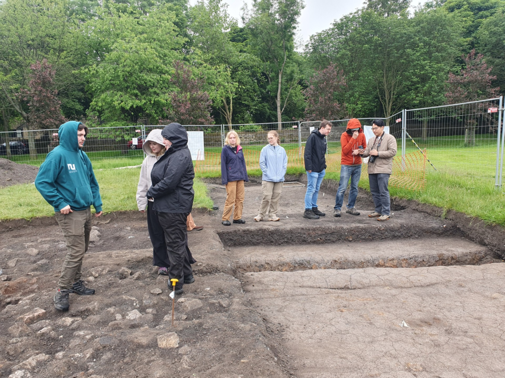
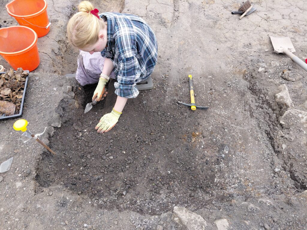
This week marks the end of our two week Field School with Master’s Students from Newcastle University, and they’ve done so much for the mission. We’ve taken our initial site photos and made the site opening plan. At the start and end of each excavation season we take photos of all of our trenches and draw a 1:20 plan of site. This is so we can keep our records as accurate as possible between seasons, and document how the site has changed over the winter. It allows us to make a record of new additions like our Trench Extension and just get a general feel for what’s going on.
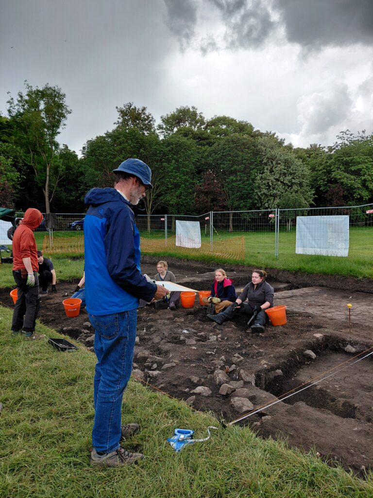
Caption: Hard at work with the drawing boards.
We also learned a little bit about 3D photogrammetry with Dake, who diligently came out in the rain to help us make a model of our road surface.
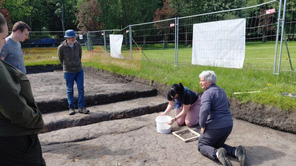
Last Friday volunteers Dayna and Violet showed us how to make forensic casts of the colossal hoof prints of the dreaded Jarrow Wyrm! (the horseshoe prints embedded in the surface of our road). Definitely a brand-new experience. This isn’t something typically done in archaeology as it can be destructive; to make the cast you have to pour Plaster of Paris into the print and remove it when it dries. As you remove it you also take out any soil adhered to the plaster, usually destroying whatever it is you’re making a print of. After the dirt dries, you can brush it off and are left with a beautiful cast, showing all of the finer details of whatever made your print. We decided to do it on site in this case for a few reasons:
1. The horseshoe print wasn’t very old, likely Edwardian.
2. The horseshoe has been recorded through GPS, Photogeraphs, 3D modelling, and hand drawing twice!
3. The ability to both preserve a version of the print, while teaching our students about something they may never have seen before outweighed the value of the print in situ.
4. The print would likely have been destroyed through either natural weathering if it was left exposed, of have been destroyed by digging when we needed to see what’s underneath it.
All compelling reasons to spend a morning mixing plaster in a bucket.
Many of the techniques we use in archaeology are destructive. excavation itself is by its nature a destructive process; once you dig through it, it’s gone forever. That’s why we employ so many different methods to record site as fully and to as greeat detail as possible.
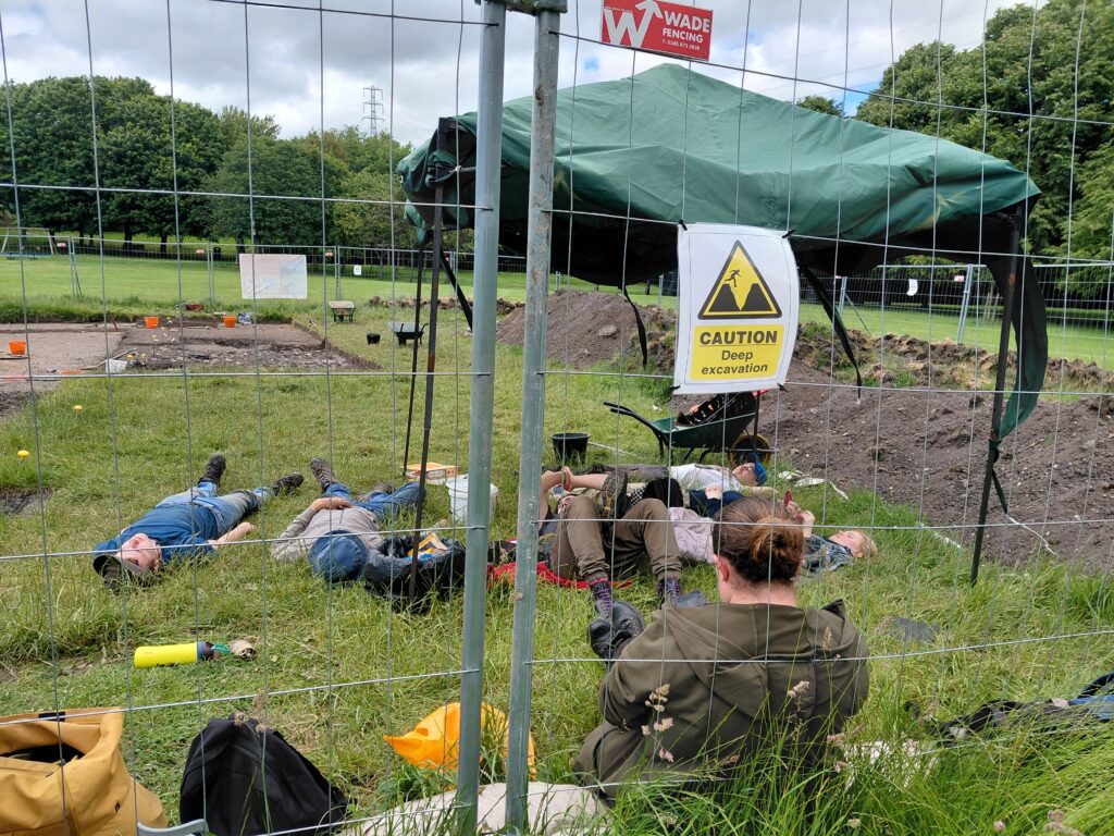
In essence, we’ve spent this first week on site recording, preserving and getting a good feel of the lay of the land.
We were also joined on Friday by a very special guest; Dr. Marta Alberti, Deputy Director of Excavations at the Vindolanda Trust, who gave a fantastic lecture on early Christianity in Vindolanda, the edge of the Roman Empire.
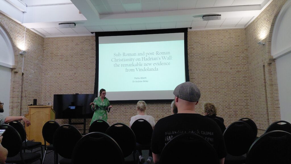
Thank you Marta!
After all of this we were finally free to dig!
This week we’ve been exposing and exploring the foundations of a potential wartime structure which appeared in our Test Pit’s last September. We’re still not sure exactly what it might be, but hopefully excavation will help clear up this mystery.
Digging in the park isn’t the only way we’ve been investigating this feature. Our volunteer Isabel has also been doing some digging online and found some photos which might help elucidate this mystery.
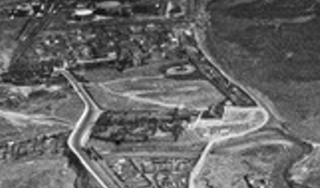
We had previously seen this photo from 1935:
If you zoom in you can see Drewett’s Park with the road or path running through site.
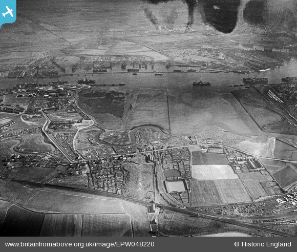
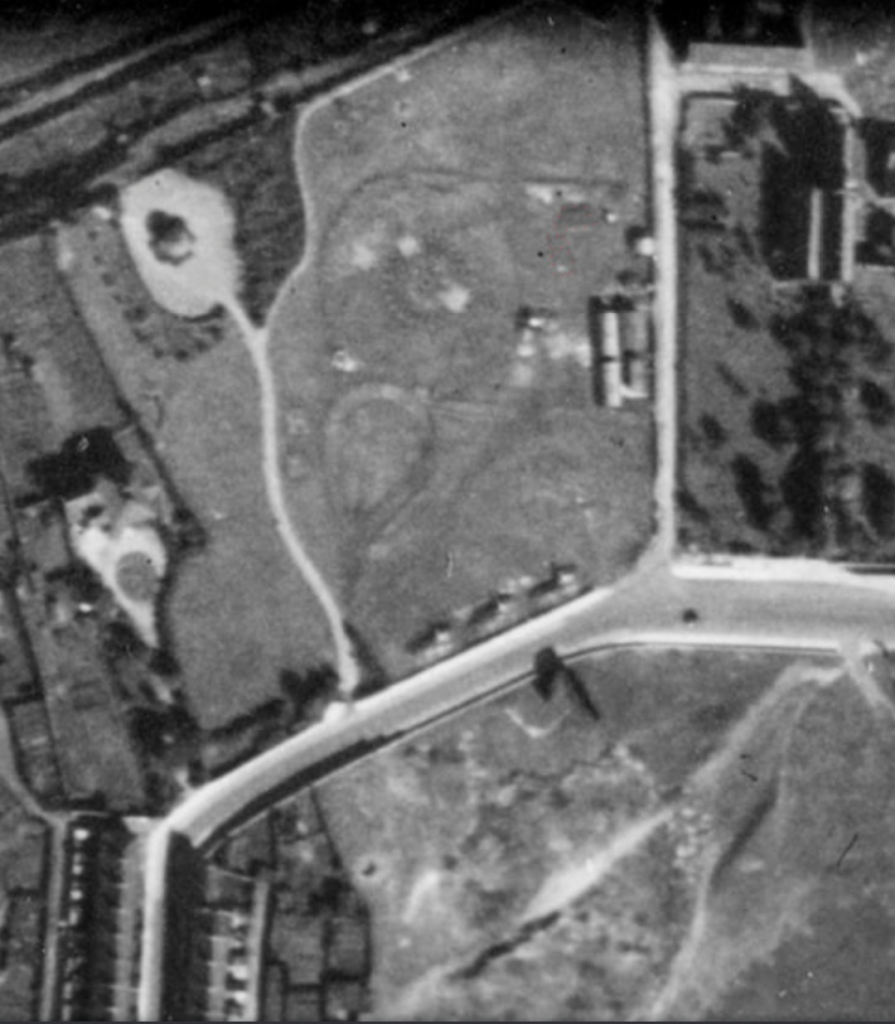
Isabel has found this new photo on the Historic England Aerial Photo Explorer:
Caption: available at https://historicengland.org.uk/images-books/archive/collections/aerial-photos/record/raf_fno_129_fp_1067
And if you zoom in you can see a square structure right where Trench 1 is today.
She also had a look at British Pathé and found this film of the Jarrow Pilgrimage 1935, which shows a temporary structure in park for the procession of Catholic pilgrims.
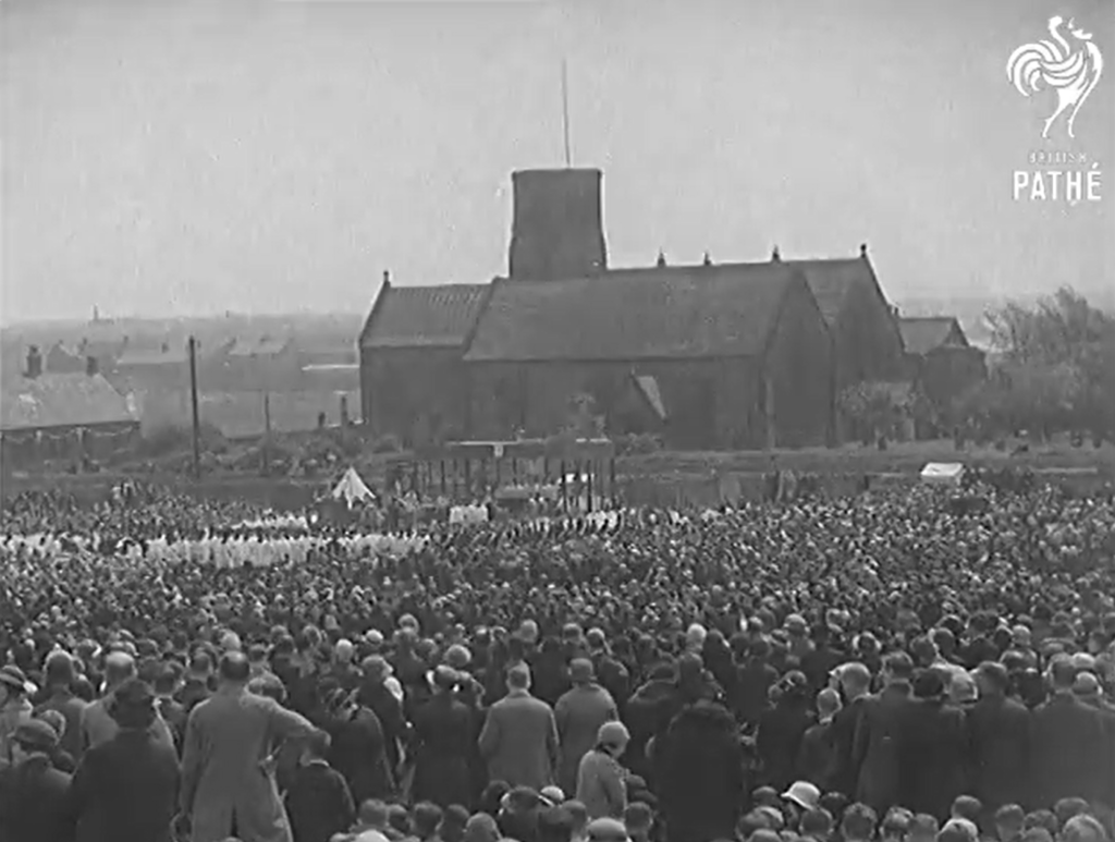
Caption: Credit British Pathé, available at: https://youtu.be/IFvw6IJ_vdM?si=PLuGNdhefBDJiQIU
These new discoveries help us narrow down when and why the structure was built. It seems likely that it was a temporary wartime structure, but we may also be seeing wartime reuse of a structure that was built in the park after 1935. In any case it certainly exists by 1942, though it’s hard to make out more details from the aerial photographs. Using resources like photographs and film is a novel experience when you’re used to flint arrow heads and wooly rhino teeth, but it certainly is helpful.
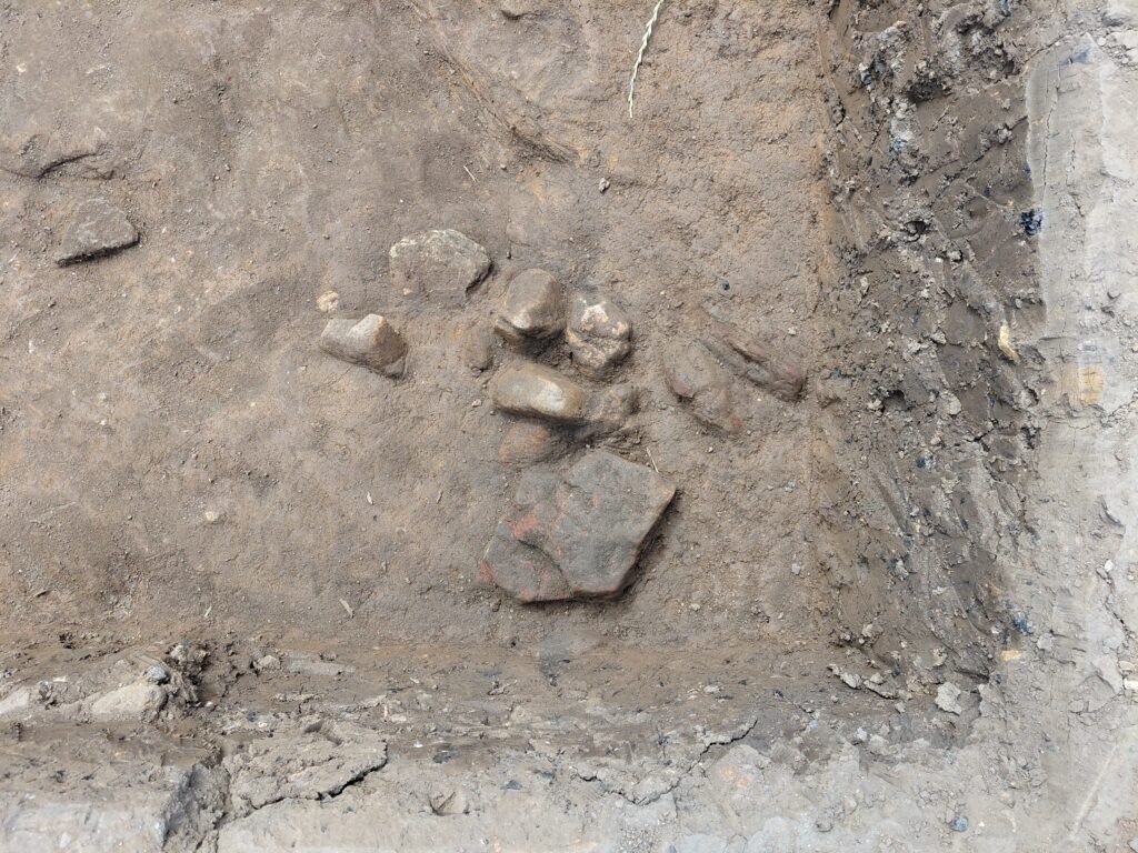
Since starting excavations we’ve been able to investigate the stratigraphy of the structure and it’s relationship with the older road.
Caption: where the road and structure meet.
It seems that the structure literally just sits on top of the road. You can see the cart tracks continue underneath the stone foundations in the photo above. We were expecting something a little bit more complicated but nope, nice an easy stratigraphy there.
Fortunately we’ve also taken a sneaky peak under the road, and that is proving to bve much more confusing, thank goodness.
Caption: An undulating sandy clay with sandstone deposit.
Under the road we found a scatter of pebbles, possibly an older surface, and then an undulating, mid orange-brown sandy-clay which doesn’t look like anything else on site. It could be part of an older path, it could be natural variation, it could be something agricultural; we just don’t know yet!
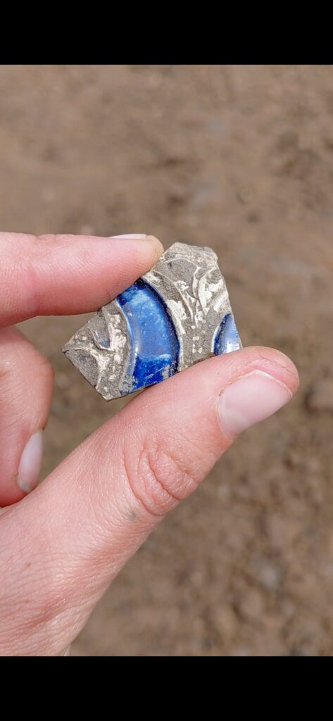
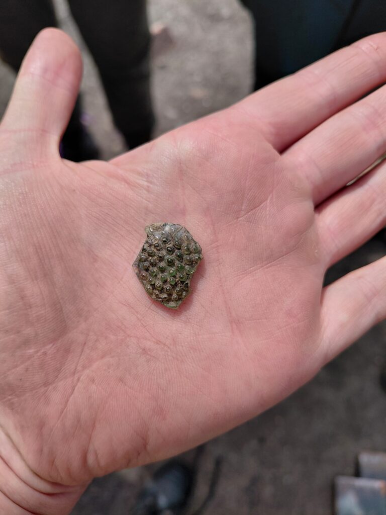
At the Northern end of the Trench, the Party Pit has produced some beautiful 17th century finds, such as Roemer Glass and German Westerwald Stoneware, as well as plenty of clay pipes. It’s possible that these more costly goods can be linked to Simon Temple, who built Jarrow Hall in 1785, so may have had some of these items as vintage pieces or antiques. It could also be that they belonged to someone else in Jarrow, but regardless, all the way at the bottom of the park is an odd place for such lovely things to be.
Caption: Westerwald Stoneware, produced in Germany from the 16th to the 18th century.
Caption: Roemer Glass, originally produced in the Netherlands from the 15th to the 17th century.
Other than such fabulous finds, the context’s being excavated are likely agricultural deposits as they’re very mixed with both clay and organic material, with relatively few finds. This is consistent with the history of the site as, before Drewett’s Park was given to the council in 1910, it was used as agricultural land.
It’s been a great two weeks having the students on site, and we at JAM HQ want to thank them for all of the work they’ve put in the last few weeks.
You’re all welcome back anytime!